Page 10 - GEOMIN
P. 10

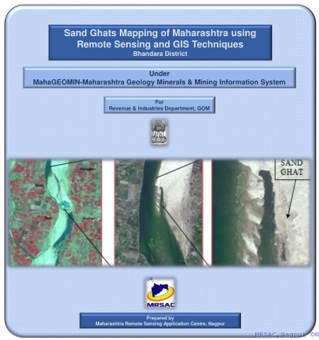
Sand Ghats Mapping of Maharashtra using
                           Remote Sensing and GIS Techniques

                                              Bhandara District


                                                    Under
            MahaGEOMIN-Maharashtra Geology Minerals & Mining Information System


                                                      For
                                      Revenue & Industries Department, GOM


                                                   Prepared by
                                 Maharashtra Remote Sensing Application Centre, Nagpur
                                                                                       MRSAC,Nagpur ©®
                                                                                        MRSAC,Nagpur ©®
   5   6   7   8   9   10   11   12   13   14   15