JavaScript Required We're sorry, but this site doesn't work properly without JavaScript enabled. If you can't enable JavaScript please click here to view settings.

Maharashtra Remote Sensing Application Centre

Projects

MahaBHUMI
flipbook

Ortho-Rectification of High-Resolution Satellite Data (Stereo/Tri-stereo) -Maharashtra State

flipbook

Creation of Ground Control Points Library using Dual Frequency DGPS Survey for Maharashtra State

flipbook

Maharashtra Geology, Minerals & Mining Information System-MAHA-GEOMIN Phase-I, II & III

flipbook

MahaMINERALS - Mining Surveillance System for Minor Minerals of Maharashtra State

flipbook

Geo-Informatics Technology based Large Scale Digital Database Creation of Bauxite and Laterite Deposits for utilization by Aluminum industries

Asset Mapping / Facility Mapping
flipbook

Health GIS

flipbook

GIS Based Asset Mapping, Monitoring and Management System (MahaURJA) for MEDA, Maharashtra State

flipbook

Creation of Ground Control Points Library using Dual Frequency DGPS Survey for Maharashtra State

Application of Remote Sensing and GIS
flipbook

National Wetland

flipbook

National Urban Information System (NUIS)

flipbook

Implementation of Integrated Enterprise Geographical Information System (GIS) for CIDCO

flipbook

Mapping of Land Use land cover for JNPT area using High Resolution Satellite data of 15 years on 1:15000 scale.

flipbook

GIS Mapping for Mumbai Port Trust (MbPT) using High Resolution Satellite Data

flipbook

Implementation of Geographic Information System for Nagpur Improvement Trust (NIT) – NMRDA

flipbook

GIS Based Mapping for Jawaharlal Nehru Port Trust (JNPT) using High Resolution Satellite Data

flipbook

Integrated Forest Information System (IFIS)

flipbook

Zudpi Jungle Mapping Using Remote Sensing and Geographical Information System

flipbook

National Land Use Land Cover Mapping Using Multi-Temporal Satellite Data (3rd Cycle)-2015-16

flipbook

Preparation of ELU Map for Preparation of Development Plan of Special Unit for Nanded Waghala City Municipal Corporation (NWCMC)

flipbook

Preparation of Existing Land Use Map for Parbhani City Municipal Corporation (PCMC)

flipbook

COORDINATED HORTICULTURE ASSESSMENT & MANAGEMENT USING GEO-INFORMATICS-CHAMAN

flipbook

Desertification and Land Degradation Status Mapping in Maharashtra and Goa State

flipbook

FASAL (R&D): forecasting agricultural output using space, agro-meteorology & land based observations

flipbook

Forecasting Sugarcane Production at Mill Command Area in Maharashtra Using Satellite Remote Sensing & Ground based Observation.

flipbook

MahaAGRITECH

flipbook

SUFALAM (Space Technology Utilization for Food Security Agricultural Assessment and Monitoring) Programme. “Area and Yield Estimation of Some Kharif & Rabi Crops for Maharashtra State”

flipbook

MahaMADAT (Drought Assessment in Maharashtra)

flipbook

Coastal Management Information System (CMIS)-PHASE-II

flipbook

CHAMAN (coordinated horticulture assessment & management using geo-informatics)

flipbook

Mapping of mahagenco estate for koradi & khaperkheda thermal power stations,nagpur district, maharashtra state by using vhr satellite data

flipbook

National wastelands change analysis (2015-16)

flipbook

Refinement of watershed boundaries as per central committee guidelines for maharashtra state

flipbook

Rajiv gandhi national drinking water mission (rgndwm) phase iii and ground water quality mapping phase iv

flipbook

Remote sensing and gis based mapping for water supply and sanitation (wss) using high resolution satellite data

flipbook

Prediction of water scarcity zones & droughts using decision support tool (dss) on webgis for maharashtra state

flipbook

Municipal GIS database creation on large scale using high resolution satellite data (HRSD) for Maharashtra State: Directorate of Municipal Administration (DMA)

flipbook

GIS Mapping of Layout Plan of MIDC, using High Resolution Satellite Data and integration with LMS for Maharashtra State

flipbook

Pradhan Mantri Gram Sadak Yojana (PMGSY)

flipbook

Maharashtra Geology, Minerals & Mining Information System-MAHA-GEOMIN Phase-I, II & III

flipbook

MahaMINERALS - Mining Surveillance System for Minor Minerals of Maharashtra State

flipbook

Geo-Informatics Technology based Large Scale Digital Database Creation of Bauxite and Laterite Deposits for utilization by Aluminum industries

UAV/LIDAR
flipbook

3D Mapping of Forts in Maharashtra, Using an Integrated Geo-spatial technology Approach

CM Flagship
flipbook

MahaMADAT (Drought Assessment in Maharashtra)

flipbook

Prediction of water scarcity zones & droughts using decision support tool (dss) on webgis for maharashtra state

flipbook

Jalyukt Shivar Abhiyaan (2015-2019)

flipbook

Form pond on demand

Land Records
flipbook

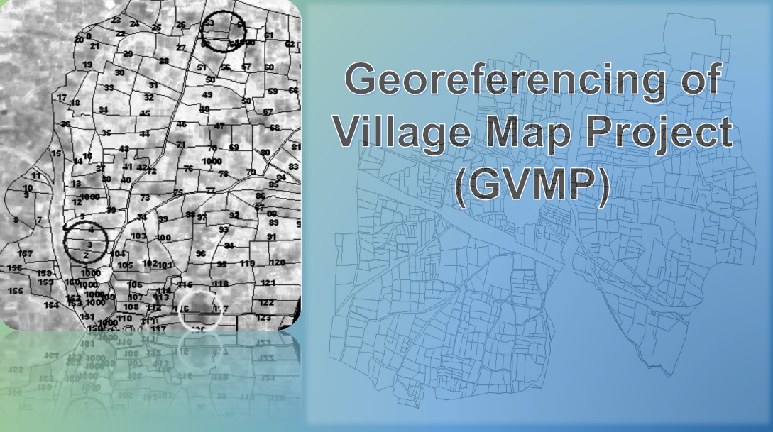
Geo-referencing of Village Map Project-GVMP

flipbook

Creation of Large-Scale Database-CLSD